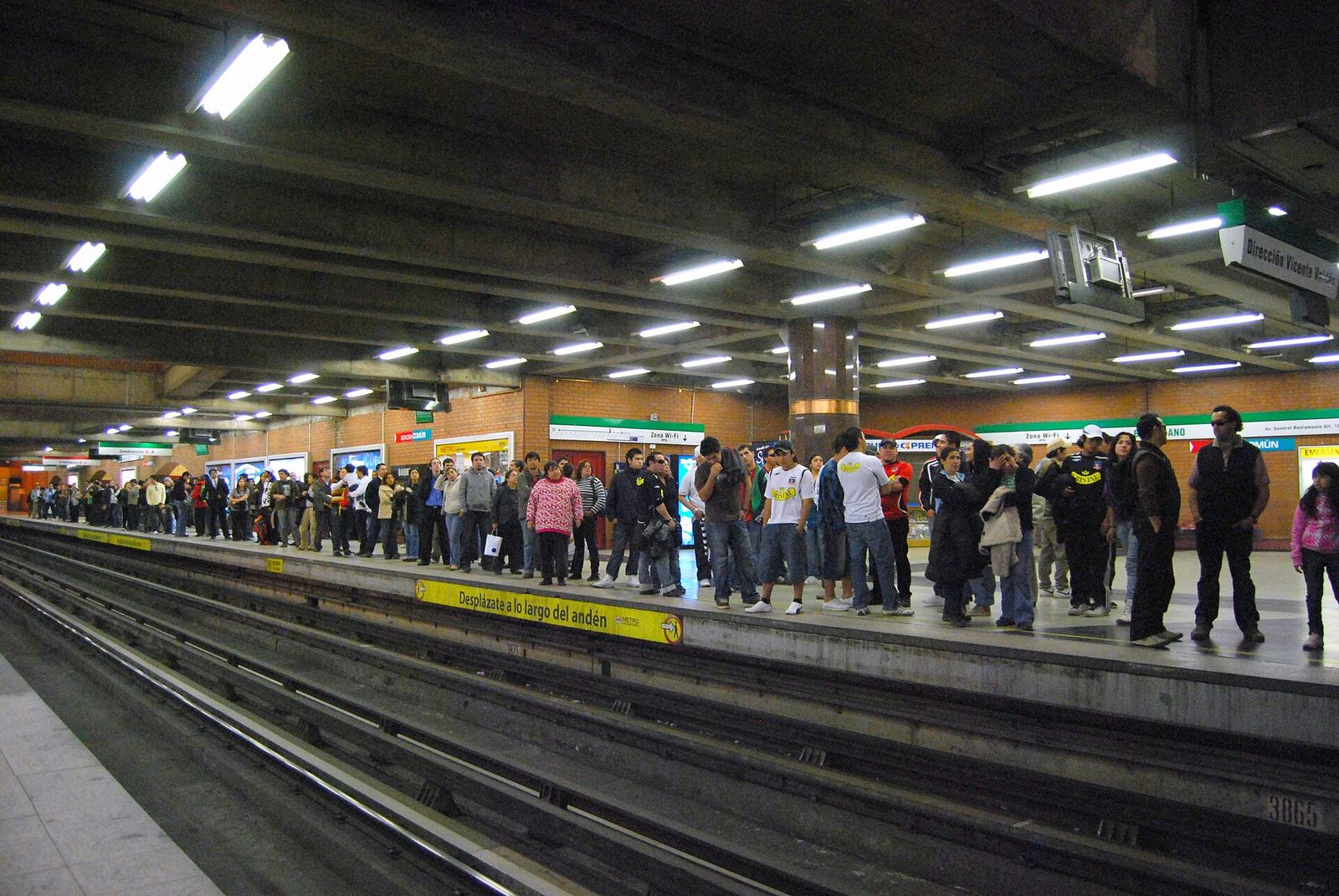
Getting around Santiago Chile is easier and cheaper than almost any capital in the Americas: seven Metro lines, fares between CLP 735 and CLP 895, and a historic center small enough to walk. The one thing that catches visitors out is payment. The Metro takes contactless bank cards; the buses still do not. Fares and hours checked September 2026.
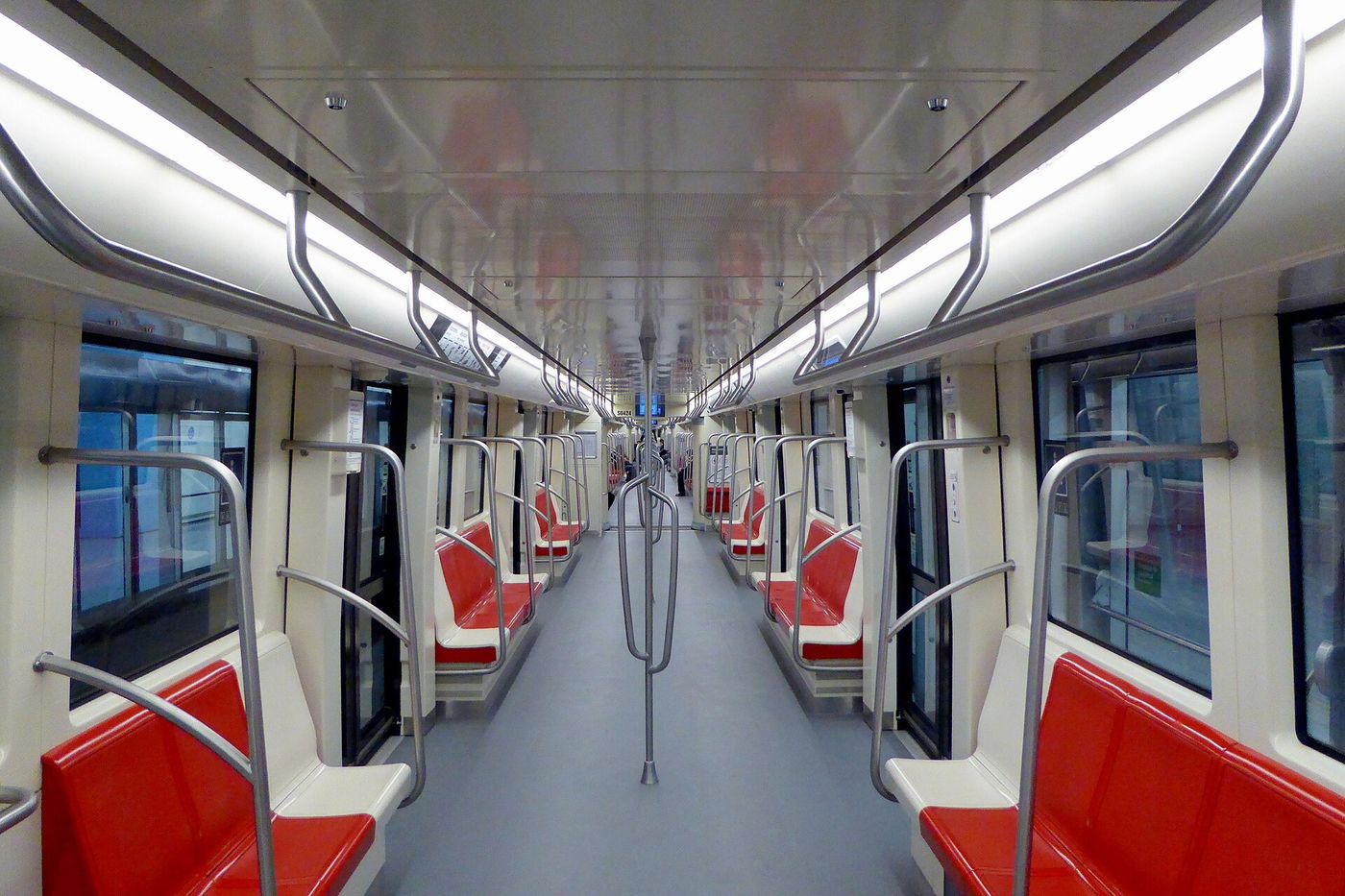
Santiago’s transport network is called RED Metropolitana de Movilidad, and it covers 34 comunas with three integrated modes: the Metro, the RED buses that most people still call micros, and the MetroTren suburban rail. One fare moves you across all three within a two-hour window, which is the single most useful thing to know about the system.
The short answer: how to move around Santiago
| Mode | Cost | Speed | Use it for |
|---|---|---|---|
| Metro | CLP 735-895 per trip | Fast and predictable | Almost every journey over 1.5 km |
| Walking | Free | 5 km/h | The centro, Lastarria, Bellavista, Providencia |
| RED bus | Same fare, integrated | Slow in traffic | Places the Metro does not reach, like Vitacura |
| Ride-hailing | CLP 3,000-12,000 typical | Variable | After 22:00, and with luggage |
| Street taxi | Metered, similar to ride-hail | Variable | When you have no data |
| Colectivo | CLP 1,000-2,500 | Fast on its fixed route | Last-mile runs like Metro to Pirque |
| Bike | Free to CLP 10,000/day | Quick on the flat | Providencia, the Mapocho corridor, parks |
If you take one rule from this page: use the Metro by day, walk inside the centro, and take a taxi app after dark. That covers perhaps 95% of a visitor’s journeys, and the total cost for a week rarely exceeds CLP 15,000.
The Metro: lines, hours and fares
The Metro is the backbone. It is clean, frequent, air-conditioned on the newer lines, and fast enough to beat a taxi across the city at almost any hour. Trains run every two to six minutes depending on the line and the time.
Operating hours, checked September 2026:
- Monday to Friday: 06:00 to 23:00
- Saturday: 06:30 to 23:00
- Sunday and public holidays: 07:30 to 23:00
Those are network-wide first and last services; individual stations vary by a few minutes. The 23:00 closure is the constraint that shapes Santiago evenings, because dinner starts at 21:00 and the last train home is earlier than you expect.
Fares vary by time band, which is the detail that confuses people, and the bands changed in February 2026:
| Band | Times | Fare |
|---|---|---|
| Punta (peak) | 07:00-08:59 and 18:00-19:59, weekdays | CLP 895 |
| Valle (mid) | The rest of the weekday daytime | CLP 815 |
| Bajo (low) | 06:00-06:59 and 20:45-23:00, weekdays | CLP 735 |
| Weekends and holidays | All day | CLP 815 |
At roughly CLP 950 to USD 1, that is about USD 0.77 to USD 0.95 a ride. Ten trips across three days costs under USD 9.
Line 7 is under construction, with an official target of December 2028, so anybody showing you a map with it in service is showing you a plan.
Crowding, and how to avoid it. Line 1 between Los Héroes and Tobalaba at 08:00 and 18:30 is among the busiest stretches of urban rail in South America, and “busy” here means waiting for the second or third train at the worst stations. If you are travelling with a suitcase, avoid it entirely. If you cannot, board at an end station where you can at least get on, and stand clear of the doors.
Women-only carriages and priority seating. Priority seats near the doors are marked for older passengers, pregnant women and passengers with reduced mobility, and Chileans do give them up, which is not true everywhere. There is no women-only carriage on the Santiago Metro, though the system runs periodic campaigns against harassment and has a reporting process at station offices.
Station facilities. There are no public toilets in most Metro stations, which surprises visitors. Plan around it: cafés, museums and shopping centres are the answer. Wifi is patchy but present at many stations, and phone signal works in most tunnels.
How do you pay for the Metro and buses?
Two ways, and they are not interchangeable. Since February 2026 the Metro accepts contactless bank cards and phone wallets directly at the gates under a system called Pago Ágil. RED buses do not: they still require a bip! card. If you will use any bus at all, buy a bip! on day one.
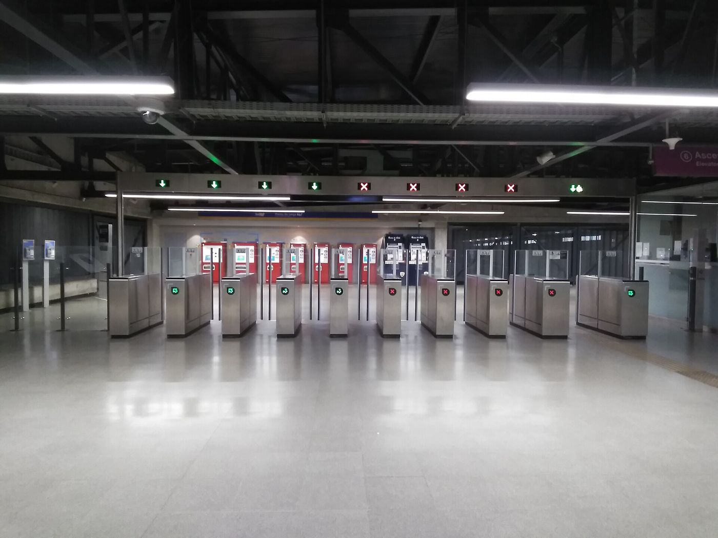
This split catches out a great many visitors, and the consequences are worse on the bus than on the Metro, because a bus driver cannot sell you a fare and there is no cash option anywhere in the system.
A few more payment details worth having:
- Use the same card for the whole journey. If you tap in with a bank card, tap through with the same one. Mixing a bank card and a bip! breaks the transfer.
- Foreign-issued card acceptance has been inconsistent. Most major Visa and Mastercard contactless cards work, but not all foreign cards have behaved reliably at the gates, and there is no recovery process at 08:30 on a Monday. A bip! card is the safe fallback.
- There is no cash option. Not on the Metro, not on the buses. Nothing in the RED system takes coins.
- One bip! card can pay for several people. Tap it once per passenger at the gate or the validator.
Buying and using a bip! card
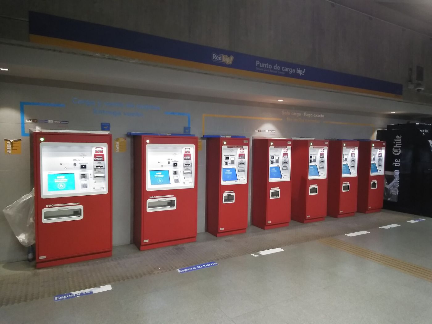
The bip! card costs CLP 1,550, with a minimum recharge of CLP 1,000 and a maximum balance of around CLP 25,500 (checked September 2026 with Santiago’s city tourism office). The card itself is not refundable and not a deposit; you are buying a piece of plastic.
Where to buy and top up:
- Any Metro station ticket office — the simplest option, and the one to use on arrival.
- bip! Centers and bip! Points — dedicated offices around the city.
- Self-service totems inside Metro stations.
- Supermarkets and convenience stores including Unimarc, Líder, Ekono and some OK Markets.
How the transfer works, and why it matters. One fare buys you a trunk-route bus, a feeder bus and a Metro trip within a maximum of two hours. In practice that means a bus to the Metro, a Metro ride across town, and a bus at the far end can all cost a single fare. It is one of the most generous integrated-fare rules in the Americas, and almost no visitor uses it because almost no visitor gets on a bus.
Topping up sensibly. Load CLP 5,000-8,000 per person for a three-day visit and top up if you need it. Unused balance is not refundable, so do not load CLP 20,000 on your last day.
A worked example of the two-hour transfer. Say you are staying in Ñuñoa and going to the Museo de la Memoria. A RED bus to Plaza Egaña, Line 3 to Los Héroes, a change to Line 5 and out at Quinta Normal is three vehicles, two modes and roughly 45 minutes, and it costs one fare of CLP 815 because it all falls inside the two-hour window. Done as three separate journeys with a break in the middle, it would cost three.
What the bip! does not cover. Long-distance buses, the airport bus operators, the funicular and teleférico on Cerro San Cristóbal, and colectivos are all outside the system and take their own payment. The MetroTren suburban services are inside it.
RED buses: how they actually work
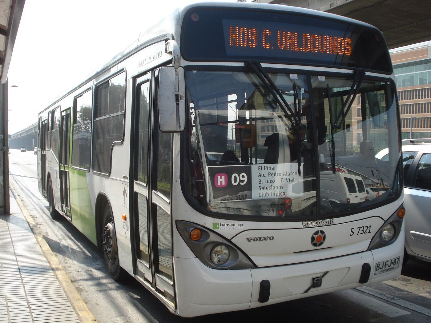
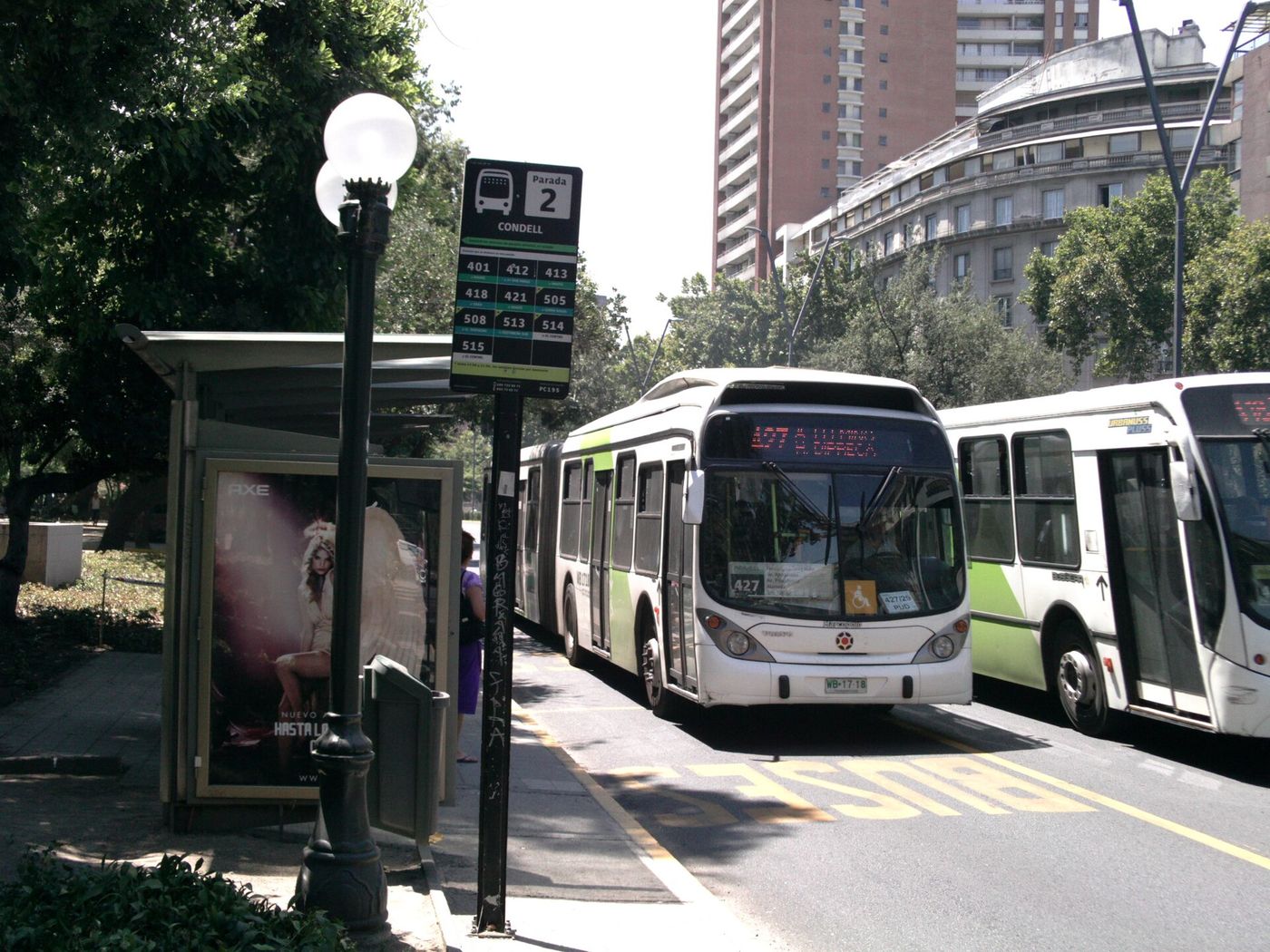
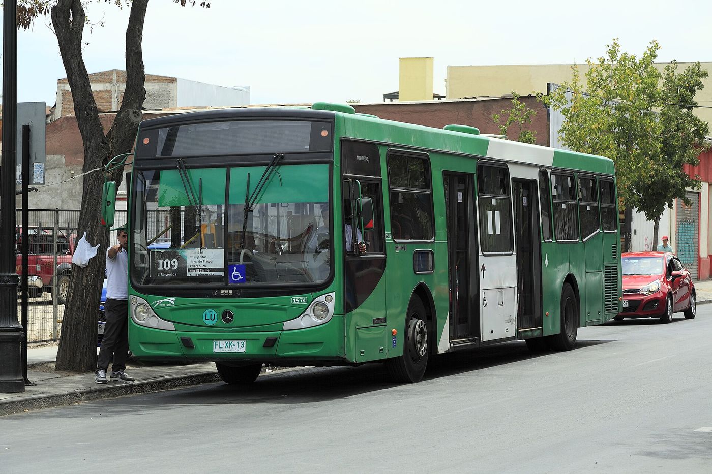
The RED buses are the part of Santiago’s transport that visitors ignore and residents depend on. They cover the whole metropolitan area, including the parts the Metro does not reach, which for a tourist means principally Vitacura, the upper Cajón del Maipo access points, and cross-town journeys that would otherwise mean two Metro changes.
The mechanics:
- Routes are numbered and color-coded by zone, and the number is displayed large on the front.
- You board at the front and tap the validator, or use one of the mid-bus validators on articulated buses.
- Stops are request stops. Signal to the driver as the bus approaches, and press the button before yours.
- Buses run later than the Metro on many routes, which makes them useful after 23:00 if you have a bip! and know your route.
- Google Maps and Moovit both have accurate live RED data, which has transformed the system’s usability for visitors.
The honest verdict on buses. For a three-day trip, you do not need them. The Metro reaches everywhere you are going, and a bus in Santiago traffic is slow. For a longer stay, or for Vitacura, they are genuinely useful and cost nothing extra if you are already carrying a bip!.
Bus route numbering, decoded. RED routes carry a letter and a number. The letter indicates the zone the route serves, and the number distinguishes routes within it; routes beginning with a number alone are trunk services running the length of a main avenue. You do not need to learn the system, but it explains why a “409” and a “C09” are entirely different buses, which is a mistake visitors make when reading a stop sign quickly.
Night buses. A reduced network runs overnight after the Metro closes, on the main corridors, at roughly 20-30 minute intervals. It works, it is used, and it is not the network to learn on your first night in the city with no Spanish. For most visitors a taxi app at 23:30 is worth the CLP 6,000.
Reading the Metro map: the lines that matter
Seven lines exist on paper; five matter to most visitors.
| Line | Color | Runs | Why you care |
|---|---|---|---|
| 1 | Red | East-west along the Alameda and Providencia | The spine: centro, Baquedano, Providencia, Las Condes |
| 2 | Yellow | North-south through the centro | Cementerios, Franklin, the southern terminals |
| 3 | Brown | Northeast-southwest | Barrio Italia, Plaza Ñuñoa, newer and less crowded |
| 4 | Blue | East then far south | Tobalaba to Puente Alto, for Concha y Toro and Cajón del Maipo access |
| 5 | Green | Northwest-southeast | Quinta Normal for the Museo de la Memoria, Bellas Artes, Plaza de Armas |
| 6 | Purple | Cross-town in the south | Mostly residential; useful for Ñuñoa |
The interchange you will use most is Baquedano (Lines 1 and 5), at Plaza Baquedano, which is also the gateway to Bellavista. Los Héroes (1 and 2) and Tobalaba (1 and 4) are the other two that come up constantly.
One quirk of Line 1: during peak hours some trains run an express service, marked red or green on the platform and on the train, stopping only at stations of the matching color. The station signage shows which color each station is. Get this wrong and you sail past your stop.
Two quirks of the map itself. First, the Metro map is drawn schematically, so distances are misleading: Baquedano to Universidad Católica looks the same as Tobalaba to Escuela Militar, and one is a five-minute walk while the other is two kilometres. Check a real map before deciding to walk between stations. Second, several stations have multiple exits spread over two or three blocks, and taking the wrong one at Baquedano or Los Héroes can put you on the wrong side of a six-lane avenue. The exit letters are signed on the platform.
Is the Santiago Metro safe?
Yes, in the sense that violent crime on the Metro is rare and the system is well lit, staffed and busy. The real risk is pickpocketing and phone theft in crowded carriages, particularly on Line 1 at peak and around the busiest central stations. Keep your bag in front of you and your phone away.
Specific habits that matter here:
- Do not stand near the doors holding your phone. The recurring theft pattern in Santiago is a grab as the doors close.
- Wear your daypack on your front in a full carriage. Everybody does it; nobody thinks it odd.
- Avoid the very first and very last trains if you are alone and would rather not be on a near-empty platform.
- Plaza Baquedano is the focus of most political demonstrations in the city, and the station has been closed at short notice during them. If there is a protest, the Metro closes affected stations and trains run through without stopping.
The UK FCDO’s August 2026 advice describes pickpocketing and mugging as very common in Santiago generally, with armed muggings increasing. That applies to the city, not specifically the Metro, and the Metro is one of the safer places in it.
Taxis, ride-hailing and colectivos
Street taxis are black with a yellow roof, metered, and generally honest. The meter starts at a fixed flag fare and runs by distance and time. Confirm the meter is running before you move. They are the right answer when you have no phone signal and the wrong answer if you are worried about being overcharged, because there is no receipt trail.
Ride-hailing apps operate throughout the city, are usually a little cheaper than a metered taxi, and give you a fixed quote, a plate number and a record. For most visitors they are the default for any journey after 22:00. Airport pickups carry a surcharge and a designated pickup zone, which we cover separately in the Santiago airport guide.
Colectivos are the mode nobody explains. They are shared taxis, usually black saloons, running fixed routes with a route number displayed on the roof. You flag one down, it picks up other passengers along the same route, and you pay cash, typically CLP 1,000-2,500. They are faster than a bus on their route and cheaper than a taxi, and they are the standard way to cover the last few kilometers from a Metro terminus to somewhere like Pirque. Say your destination when you get in.
When to take a car rather than the Metro:
- After 23:00, when the Metro has stopped.
- With luggage, particularly to or from a terminal.
- To or from Vitacura, which has no Metro.
- When it is 34°C in January and you have already walked 15,000 steps.
Paying and tipping in a taxi. Metered street taxis take cash, and increasingly cards, though not universally. Round up rather than tipping a percentage. Ride-hail fares are charged to the app. Nobody expects a tip on top of a ride-hail fare, and drivers will not ask for one.
One scam worth knowing. The rare but recurring street-taxi problem in Santiago is the meter that runs fast or the driver who claims the meter is broken and quotes a flat fare. The response is simple: agree the fare before you move, or get out and take the next one. This is not a widespread problem, and it essentially disappears if you use an app.
Walking: which parts of Santiago work on foot
Santiago is unusually walkable for its size because the parts visitors care about are concentrated and flat. The whole historic center fits inside a square kilometer, and the axis from the Plaza de Armas through Lastarria to Parque Forestal and up to Bellavista is a 40-minute walk end to end, all of it interesting.
What works on foot:
- The centro: everything within the ring of the Alameda, Norte-Sur and the Mapocho.
- Lastarria and Bellas Artes to Bellavista: 12 minutes across the Pío Nono bridge.
- Providencia: long but pleasant along the parallel Nueva Providencia, or the riverside path.
- Barrio Italia and Ñuñoa: small and self-contained once you are there.
What does not work on foot: anything crossing between the centro and Las Condes, which is 8 km of increasingly dull avenue; Vitacura, where the blocks are long and car-oriented; and anything involving the Alameda at rush hour, which is loud, polluted and unrewarding.
Crossing the road deserves a mention. Santiago drivers are not aggressive by regional standards, but right turns on red are common and cyclists use the sidewalk where the lanes run out. Look twice.
Shade and heat. In January, walking Santiago between 13:00 and 17:00 is genuinely hard work: the sun at this altitude is fierce, the humidity is low enough that you dehydrate without noticing, and much of the centro has little shade. The adaptation is the local one. Walk early, retreat indoors for the long lunch, and come back out at 18:00 when the city does.
Cycling and bike share
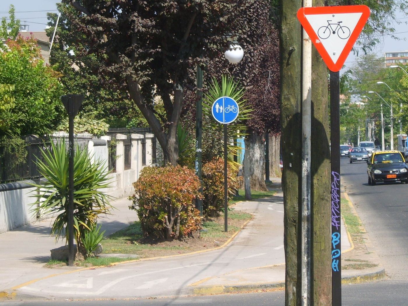
Santiago has invested heavily in protected bike lanes over the last decade, and the network along Providencia, Pocuro, Andrés Bello and the Mapocho corridor is genuinely good. The city is flat, dry for most of the year, and small enough to cross by bike in 40 minutes.
Public bike-share systems operate in the central comunas, with docking stations clustered in Providencia, Las Condes, Ñuñoa and parts of Santiago Centro. Private rental shops in Bellavista and Lastarria hire by the day, typically CLP 8,000-15,000, and most of them also run guided bike tours, which is a good way to cover Parque Forestal, the Mapocho and Barrio Yungay in a morning.
Two caveats. The lane network is excellent in the eastern comunas and patchy in the centro, where you will find yourself sharing a bus lane. And bike theft is common: use a good lock, and do not leave anything on the bike.
On Sundays, CicloRecreoVía closes lanes on major avenues including Providencia to traffic for several hours in the morning, and the city fills with families on bikes. It is one of the nicest things Santiago does.
Bike theft, and what to do about it. Santiago has a serious bike-theft problem, and a cheap cable lock is an invitation. Rental shops supply a proper lock and will tell you where not to leave the bike. Do not leave a bike locked on the street overnight, anywhere.
Driving and parking
Do not rent a car for a city stay. Santiago has congestion, expensive parking, electronic tolls on the urban highways, and a Metro that is faster than driving for almost every journey a visitor makes.
If you do drive:
- Urban highways are tolled electronically with a TAG transponder. Rental cars include one and bill you afterwards. Driving a non-TAG car on a tolled highway generates a fine.
- Street parking in Providencia, Lastarria and Las Condes is metered and patrolled, generally by an attendant who takes payment by card or app.
- The drink-driving limit is close to zero and enforced with roadside breath tests, particularly on weekend nights.
- Restricción vehicular, the rotating driving restriction based on license plate digits, applies mainly to older non-catalytic vehicles and during environmental emergencies in winter. Rental cars are usually exempt, but confirm.
A car makes sense for exactly one kind of trip: a multi-day loop out of the city to the coast, the wine valleys or the Andes. Pick it up on the day you leave and drop it when you come back, and see our comparison of day trips from Santiago for which of those actually need one.
Trains, terminals and getting out of the city
MetroTren runs suburban services south from Estación Central, including the Nos and Rancagua lines, and it is integrated into the bip! system. For visitors it matters mostly as the comfortable way to reach Rancagua, which is where Sewell tours depart from.
Long-distance buses leave from four points, and using the wrong one costs an hour:
- Terminal Pajaritos (Metro Line 1): fastest for Valparaíso and Viña from the east of the city.
- Terminal Alameda and Terminal Santiago (Estación Central, Line 1): the largest choice of destinations, including the south and Isla Negra.
- Terminal San Borja (behind Estación Central): regional destinations including Pomaire.
- Bellavista de La Florida (Line 4): local buses up the Cajón del Maipo.
Chilean intercity buses are excellent: comfortable, punctual, cheap, and with genuinely flat cama seats on the long routes. For anything under five hours they are a better option than flying once you count airport time.
Buying intercity tickets. Buses to Valparaíso, the coast and the south can be bought at the terminal counters minutes before departure on the busy routes, and online in advance for the long overnight runs south, where the good seats sell out. Fares are low: Valparaíso is roughly CLP 4,900-6,180 one way. There is no need to pre-book the Valparaíso route, and there is every reason to pre-book a Friday-night sleeper to the Lake District.
Accessible transport in Santiago
The Metro is the most accessible part of the network and is steadily improving. Most stations have lifts, tactile paving and level or ramped access, and the newer Lines 3 and 6 were built accessible throughout. The gaps are in the older Line 1 and Line 2 stations, several of which still have stairs-only access or lifts that reach only part of the station.
The practical approach: check the specific station on the Metro’s own accessibility information before you rely on it, rather than assuming, and have a fallback. RED buses are largely low-floor with a ramp and a designated wheelchair space, though the boarding experience depends heavily on the driver and the stop.
Accessible taxis exist but are limited, and the reliable option is a private transfer booked in advance with a suitable vehicle. Pavements in the centro and Providencia are mostly in good condition; in older neighborhoods like Yungay and Barrio Brasil they are narrow, uneven and frequently blocked.
What does a week of transport cost?
Very little. A visitor using the Metro four times a day for seven days spends about CLP 23,000, roughly USD 24, plus CLP 1,550 for the bip! card. Add three or four taxi rides home at CLP 5,000-8,000 each and the week still lands under CLP 55,000, about USD 58, per person.
| Trip profile | Metro | Taxis | Week total |
|---|---|---|---|
| Walker, centro base | 8 rides, CLP 6,500 | 2 rides, CLP 10,000 | CLP 18,000 |
| Typical visitor | 25 rides, CLP 20,500 | 4 rides, CLP 24,000 | CLP 46,000 |
| Las Condes base, busy days | 35 rides, CLP 29,000 | 6 rides, CLP 40,000 | CLP 70,500 |
Compare that with a single Sky Costanera ticket at CLP 25,000 and the relative value of Santiago’s transport becomes obvious. Transport is the one thing in this city that is genuinely cheap.
Getting around at night
The Metro stops at 23:00 and Chilean dinner starts at 21:00, which produces the single most common transport miscalculation visitors make here. A 21:00 reservation in Barrio Italia realistically ends between 23:00 and midnight, and by then the Metro has gone.
Your options after 23:00, in order of sense:
- A ride-hailing app. Cheap, quick, traceable. A cross-town ride at midnight typically costs CLP 5,000-10,000. This is what residents do.
- A taxi booked by the restaurant. Any decent restaurant will call one, and this is the recommended route in the government travel advice rather than flagging a car on the street.
- A night bus, if you already know the corridor and hold a bip! card.
- Walking, which is fine inside Lastarria or Providencia and a bad idea along the Alameda or through the emptier parts of the centro.
The areas worth extra care after dark are Bellavista around Pío Nono, where drink spiking is specifically flagged in UK government advice, the western Alameda, and the blocks around Estación Central. None of that means staying in. It means spending CLP 6,000 on a car rather than saving it.
One practical detail for late nights: have the address written in Spanish, with the comuna. Santiago has repeated street names across comunas, and “Merced 300” means nothing without knowing whether you want Santiago Centro or Ñuñoa.
Nine mistakes visitors make
- Assuming the bus takes a bank card. It does not. Buses need a bip!.
- Buying a bip! and then never getting on a bus. If you are here three days and staying centrally, contactless on the Metro may be all you need.
- Mixing payment methods mid-journey, which breaks the two-hour integrated transfer.
- Missing the last train. 23:00, every night, and earlier than a 21:00 dinner suggests.
- Taking Line 1 at 08:30 with a suitcase. It is standing room only and you will not enjoy it.
- Boarding an express train on Line 1 without checking whether your station is red or green.
- Walking from the centro to Las Condes because the map makes it look reasonable. It is 8 km of avenue.
- Renting a car for the city. Parking and tolls cost more than every Metro ride you would have taken.
- Standing by the doors with a phone out. This is how most visitor thefts on the Metro happen.
Where you are going, and how to get there
| Destination | Best route |
|---|---|
| Plaza de Armas | Metro L5 to Plaza de Armas |
| Cerro Santa Lucía | Metro L1 to Santa Lucía |
| Cerro San Cristóbal | Metro L1 to Baquedano, walk 12 min to Pío Nono, funicular or teleférico |
| Museo de la Memoria | Metro L5 to Quinta Normal |
| Mercado Central / La Vega | Metro L2 to Patronato, or L5 to Puente Cal y Canto |
| Barrio Italia | Metro L3 to Santa Isabel or Inés de Suárez |
| Concha y Toro (Pirque) | Metro L4 to Plaza de Puente Alto, then colectivo |
| Vitacura | RED bus or taxi; there is no Metro |
| Valparaíso | Metro L1 to Pajaritos, then a bus |
| Airport | Centropuerto or Turbus from Pajaritos or Los Héroes |
For turning these into full days, see our Santiago itineraries; for how much of this you can avoid entirely by choosing the right base, see where to stay in Santiago.
How Santiago compares with other capitals
Context helps when you are deciding how much to budget and how much to worry.
On price, Santiago is among the cheapest big-city transport systems in the Americas at roughly USD 0.85 a ride, well under Buenos Aires in real terms, far below Mexico City’s road congestion costs once you account for time, and a fraction of any North American system.
On coverage, the Metro is the best in South America by most measures: seven lines, high frequency, and reach into the comunas where people actually live. The gap is the northeast, which is why Vitacura has no station.
On reliability, it is very good, with the caveat that political demonstrations at Plaza Baquedano can close stations at short notice and, in the most disrupted periods of recent years, have closed larger parts of the network. Those events are announced and covered heavily in the local press.
On accessibility, it is mid-table: better than most of the region, behind northern Europe, improving steadily as older stations are retrofitted.
The practical upshot for a visitor is that you should plan to use public transport here in a way you might not in Lima or Bogota, and that the money you save belongs in the wine budget.
Apps worth having
- Google Maps has accurate live RED bus and Metro data in Santiago, including real-time arrivals, and is the single most useful app here.
- Moovit is the local favorite for bus routes and often clearer than Maps for a specific micro.
- The Metro’s own app shows station status, closures and the express-train service pattern.
- A ride-hailing app of your choice, with a payment card added before you land.
- An offline map of the centro, for the twenty minutes when your eSIM is sulking.
You do not need a dedicated bip! app; balance checking is done at station totems and on the card readers.
Frequently asked questions
Do I need a bip! card in Santiago?
Only if you plan to use the buses, which still require one. Since February 2026 the Metro accepts contactless bank cards and phone wallets at the gates. A bip! costs CLP 1,550 with a CLP 1,000 minimum top-up, and it is a sensible fallback if your foreign card is refused at the turnstile.
How much is the Santiago Metro?
CLP 895 at peak (07:00-08:59 and 18:00-19:59 on weekdays), CLP 815 in the midday band and at weekends, and CLP 735 in the early and late low bands, checked September 2026. That is about USD 0.77 to USD 0.95 per trip at roughly CLP 950 to the dollar.
What time does the Santiago Metro close?
23:00 every night, with first trains at 06:00 Monday to Friday, 06:30 on Saturday and 07:30 on Sunday and public holidays. Since Chilean dinner starts around 21:00, the last train is the main constraint on a night out.
Is Uber legal in Santiago?
Ride-hailing operates widely in Santiago and is used by residents and visitors alike. It is generally slightly cheaper than a metered taxi and gives you a fixed price and a plate number. Airport pickups carry a surcharge and must be taken from a designated zone rather than the arrivals kerb.
Can you walk around Santiago?
Yes, in the areas that matter. The historic center, Lastarria, Bellas Artes, Bellavista and Providencia are all flat, compact and pleasant on foot, and the axis from the Plaza de Armas to Bellavista takes about 40 minutes. What does not work is walking between the centro and Las Condes, which is 8 km.
How do you get to Vitacura without a Metro?
RED buses, a taxi or a ride-hail app. Vitacura is the one comuna visitors go to that has no Metro station, which is the main practical argument against staying there. From Providencia, allow 20-30 minutes by road.
Are colectivos safe for tourists?
Yes. Colectivos are licensed shared taxis running fixed numbered routes, used by everyone, and they are the normal way to cover the last few kilometers from a Metro terminus. Pay cash, typically CLP 1,000-2,500, and say your destination when you get in.
Should I rent a car in Santiago?
Not for the city. Parking is expensive, the urban highways are electronically tolled, and the Metro beats driving for nearly every journey a visitor makes. Rent a car only for a trip out to the coast, the wine valleys or the Andes, and only for the days you are actually out there.
One consequence of the 23:00 last train deserves spelling out: the Metro will take you to a bar and almost never bring you home. Anyone planning an evening out should budget for a booked car at the end of it, and our guide to Santiago nightlife covers the timings, the costs and the safest way to finish the night.
Transport is one of the cheapest parts of a trip here — under a dollar for any Metro journey across a city of seven million — and it barely registers against accommodation and day trips. For the full picture, including what a day, a week and a family trip actually cost, see our guide to Santiago travel costs.
One thing the network map does not show: Lines 3 and 6 are step-free at every station, while lift coverage on the older lines is partial and depends on maintenance. If that matters to your trip, our guide to accessible travel in Santiago covers which lines and stations work, what the bus fleet offers, and the pavement realities between them.
The same network reaches wine country. Metro Line 4 ends at Plaza de Puente Alto, a short colectivo ride from the Pirque wineries; EFE’s Rancagua train from Estación Central stops at Buin, Linderos and Paine; and buses from Terminal San Borja run to Isla de Maipo. Our Maipo Valley wine tour guide matches each route to the wineries it serves.
Arriving by air, the Metro is one bus ride away. Centropuerto runs every 15 minutes from the airport to Pajaritos, Terminal Sur and Metro República, all on Line 1, for CLP 2,400 one way (checked 1 October 2026); from República, La Moneda is two stops east and Universidad Católica, for Lastarria, five. Our guide to the airport-to-city-center options compares the bus with taxis, ride-hail and transfers.
Sources
- Metro de Santiago — horarios y tarifas
- Metro de Santiago — pago con tarjeta bancaria
- Metro de Santiago — mapa de red
- RED Movilidad
- Santiago Turismo — public transportation
- Visit Santiago — plan your trip
- DTPM — Directorio de Transporte Público Metropolitano
- EFE Trenes de Chile — MetroTren
- Turbus
- Pullman Bus
- Municipalidad de Providencia — ciclovías
- CicloRecreoVía
- UK FCDO — Chile safety and security
- Ministerio de Transportes y Telecomunicaciones
- Nuevo Pudahuel — RED 555 airport service
Image credits
| Photo | Credit |
|---|---|
| Baquedano station (top of page) | Paul Lowry, CC BY 2.0, via Wikimedia Commons |
| Metro train interior | B1mbo, CC BY-SA 4.0, via Wikimedia Commons |
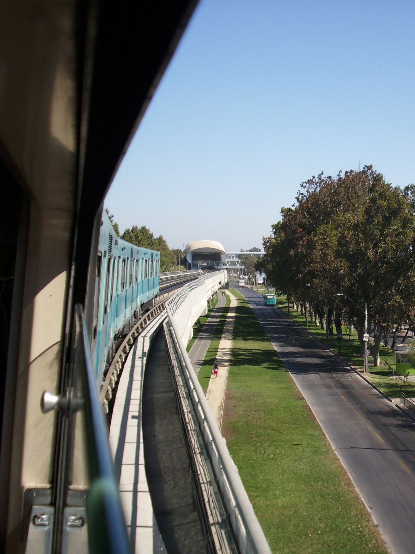
| Elevated Metro viaduct | Jorge Barrios Riquelme, CC BY-SA 3.0, via Wikimedia Commons |
| Metro ticket gates | Sfs90, CC BY-SA 4.0, via Wikimedia Commons |
| bip! top-up machines | Sfs90, CC BY-SA 4.0, via Wikimedia Commons |
| RED Movilidad bus | Franco Ferrari, CC BY 3.0, via Wikimedia Commons |
| RED bus on a Santiago street | Falk2, CC BY-SA 4.0, via Wikimedia Commons |
| Bus stop, Santiago | Scanno, CC BY-SA 3.0, via Wikimedia Commons |
| Ciclovia in Nunoa | No machine-readable author provided. Lycaon.cl assumed (based on copyright claims)., CC BY-SA 3.0, via Wikimedia Commons |