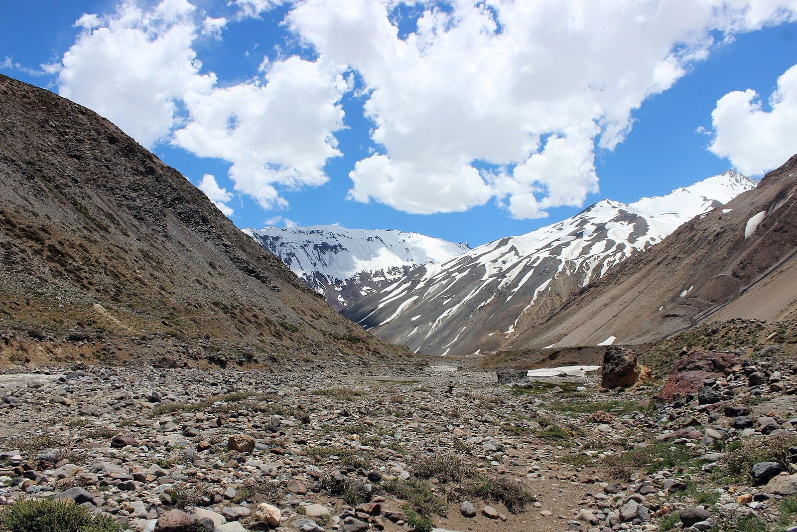
Santiago sits in a bowl with 5,000-metre peaks on its eastern rim, which means the best hiking and outdoor activities near Santiago start 40 minutes from the Metro rather than a flight away. You can be on a ridge above the city by 09:00, at a high Andean lagoon by noon, or in a hot spring in the Cajón del Maipo by mid-afternoon. What trips people up is not the terrain — it is seasonal closures, a vehicle ban nobody mentions, and a winter air-quality system that can make the smart move staying indoors.
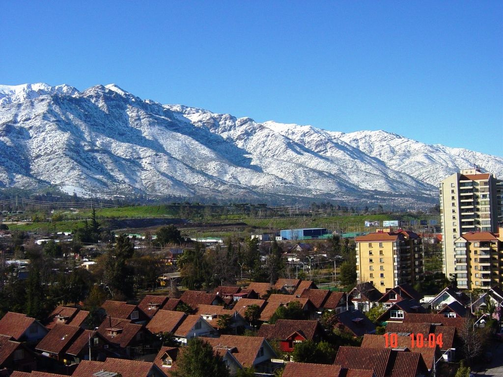
Which outdoor trip should you take?
This table assumes you are starting from central Santiago in the morning and want to be back for dinner. Times are door to door, with Santiago traffic factored in.
| Trip | Effort | Time needed | Car needed? | Best months |
|---|---|---|---|---|
| Cerro San Cristóbal | Easy–moderate | 2–3 hours | No | All year, early morning |
| Cerro Manquehue | Hard | 4–5 hours | Taxi to trailhead | Mar–May, Sep–Nov |
| Aguas de San Ramón | Moderate | 5–7 hours | No (Metro + short taxi) | Apr–Nov |
| Quebrada de Macul | Moderate | 4–5 hours | No (Metro + short taxi) | Apr–Nov |
| Yerba Loca | Moderate | Full day | Yes | Oct–Apr |
| Embalse El Yeso | Easy walking, long drive | Full day | Yes, Sep–Mar only | Sep–Mar |
| Monumento Natural El Morado | Hard | Full day | Yes or tour | Nov–Mar |
| Maipo river rafting | Moderate | Half day | Tour transport | Oct–Mar |
| Termas del Plomo / Colina | Easy | Full day | Yes, 4×4 advisable | Dec–Mar |
| PN La Campana summit | Very hard | Full day, early start | Yes | Sep–Nov, Mar–May |
Three rules govern all of it. Summer means early starts — January afternoons hit 30 °C in the city and more in the valley, and there is no shade on most foothill trails. Winter means the mountains close — snow shuts high routes and CONAF applies seasonal closures. Autumn and spring are the sweet spot, with March to May and September to November giving you clear air, open roads and manageable temperatures.
Is Santiago good for hiking?
Unusually good. Four trailheads sit inside the city limits, a 2,000-metre ridge is reachable by Metro plus a ten-minute taxi, and high Andean valleys are a 90-minute drive. What Santiago lacks is gentle terrain: almost everything climbs steeply from the start, and there is very little shade or water on the foothill routes.
The foothills here are dry, scrubby and steep — think chaparral rather than forest. Trails gain altitude fast and expose you to the sun for their whole length. A route that looks short on paper is rarely easy in practice, and a Chilean trail description of “moderado” tends to mean what a European guidebook would call hard.
Cerro San Cristóbal: the trail you can walk to
Parque Metropolitano is the easiest introduction and the one you can do on your first morning without planning. Park access is free and the park is open daily 06:00–19:00 (checked September 2026). Walk up from the Pío Nono entrance in Bellavista and you climb roughly 300 metres over about 45 minutes of switchbacks to the Virgin at the summit, past the Zoológico Nacional and the Tupahue terraces.
If you would rather not walk one or both directions:
- Funicular (Bellavista side): Tue–Sun 10:00–18:45, Mon from 13:00, return CLP 2,250 Tue–Fri and CLP 2,060 at weekends and on holidays. Closed the first Monday of the month.
- Teleférico: the Pedro de Valdivia line runs Oasis–Tupahue–Cumbre and the newer Pío Nono line, which opened on 28 February 2026, runs from the zoo side. Tue–Sun 10:00–19:45, closed Monday. Return fares start at CLP 2,630 on Pedro de Valdivia and CLP 1,130 on Pío Nono, with a combined ticket from CLP 3,760.
All checked September 2026. Everything mechanical on the hill closes on Monday, so a Monday visit means walking. Go at 07:00 in summer: by 11:00 the path is exposed and hot, and in winter the view depends entirely on whether the smog has cleared overnight.
The foothill trails: Manquehue, Aguas de San Ramón, Macul
These three are the real hikes inside the city, and the reason a lot of Santiaguinos never bother driving anywhere.
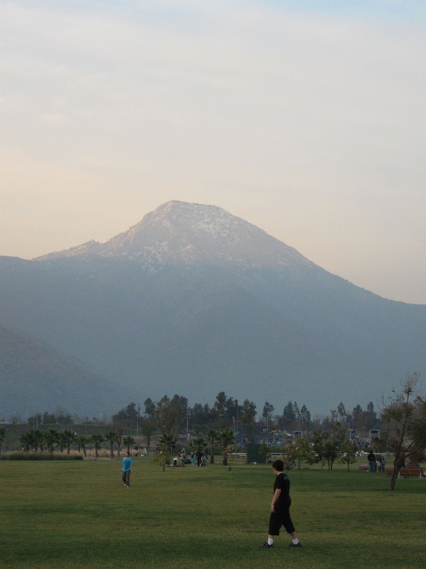
Cerro Manquehue is the pointed summit you see from all over the eastern city, topping out around 1,638 m. It is a steep, loose, three-to-four-hour round trip from the trailhead in the Santa María de Manquehue neighbourhood, with the last section a genuine scramble. The reward is the best free view of Santiago there is — the whole basin on one side, the Andes wall on the other. Take a taxi to the trailhead, take two litres of water per person, and don’t start after 10:00 in summer.
Aguas de San Ramón is the most popular managed trail in the foothills, run by the Asociación Parque Cordillera at the eastern end of La Reina. The classic objective is the Salto de Apoquindo waterfall, about 8 km each way with a steady climb. It is a ticketed park with a staffed gate, a modest entry fee and — this is the part people miss — a strict last-entry and last-return time, enforced because rescues here are common. Check the current hours and fee on the day; the association adjusts both seasonally and closes the park outright when fire risk is high, which in practice means some hot, windy days between December and March.
Quebrada de Macul climbs the ravine below Peñalolén towards the Salto de Peñalolén waterfall. Same operator, same ticketed model, same fire-risk closures, and a route that is greener and shadier than most of its neighbours because the ravine holds water.
| Trail | Distance (round trip) | Ascent | Time | Access |
|---|---|---|---|---|
| Cerro San Cristóbal (Pío Nono to summit) | ~6 km | ~300 m | 2–3 h | Walk from Bellavista |
| Cerro Manquehue | ~7 km | ~800 m | 4–5 h | Taxi from Metro Manquehue area |
| Aguas de San Ramón to Salto de Apoquindo | ~16 km | ~1,000 m | 6–8 h | Metro then taxi to La Reina |
| Quebrada de Macul | ~12 km | ~700 m | 4–6 h | Metro then taxi to Peñalolén |
Distances and ascents are approximate and vary by which trailhead and turnaround point you use.
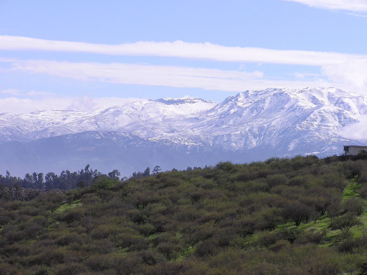
Cajón del Maipo: the valley that holds everything else
Southeast of the city, the Maipo river carves a canyon that climbs from vineyards at San José de Maipo to glaciers at Baños Morales, and almost every serious outdoor day trip from Santiago goes up it. The road is paved as far as San Alfonso and gets progressively rougher after that.
What is up there, in order of distance from the city:
- San José de Maipo and El Melocotón — the valley’s towns, 60–75 minutes out, with restaurants and the rafting operators.
- Cascada de las Ánimas — a private nature sanctuary at San Alfonso, the base for most rafting and horseback trips.
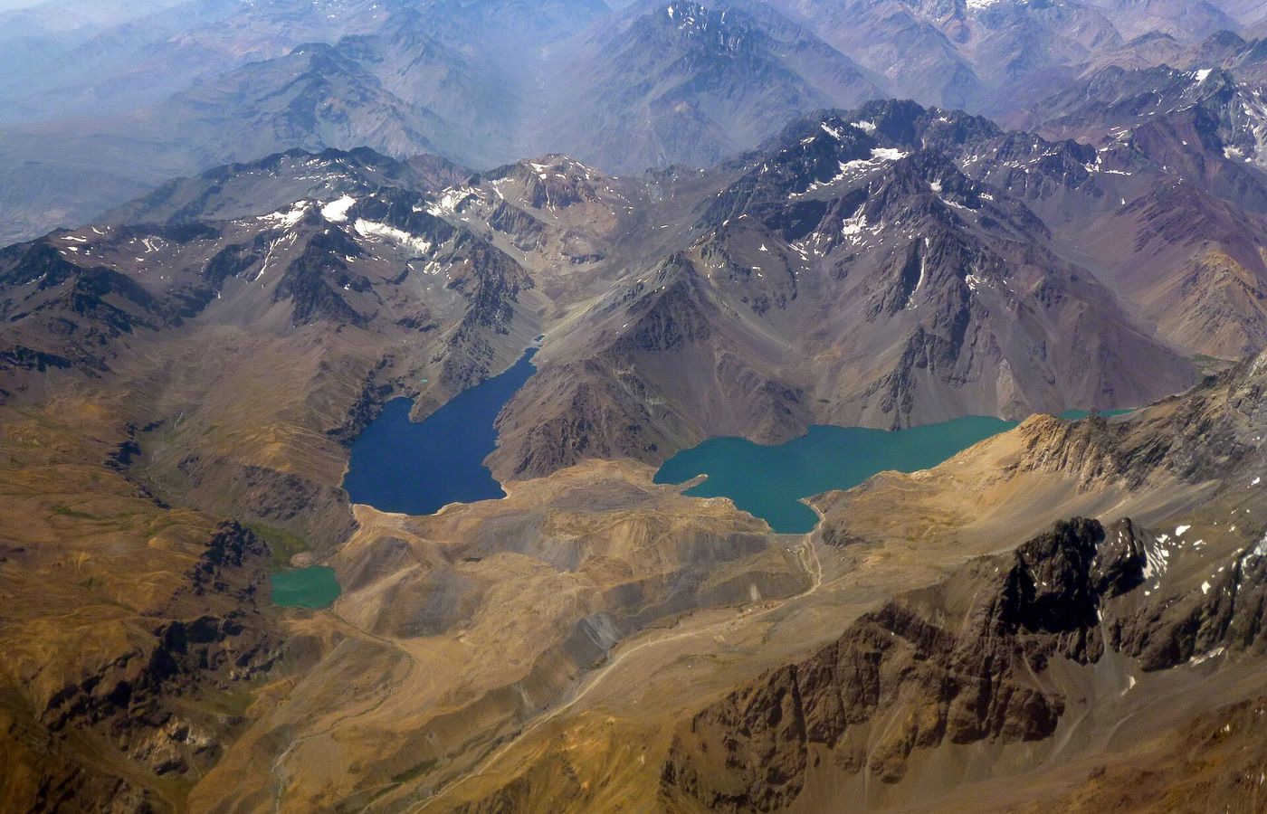
- Embalse El Yeso — the turquoise reservoir that fills every photograph of this valley.
- Baños Morales and Monumento Natural El Morado — the trailhead for the walk to the El Morado lagoon; CONAF has closed the San Francisco glacier and its base to visitors.
- Termas Valle de Colina and Termas del Plomo — hot springs at the top of the valley, on unpaved road.
| Stop | Drive from centre | Paved? | What it is | Worth it? |
|---|---|---|---|---|
| San José de Maipo | 60 min | Yes | Valley town, plaza, restaurants | As a stop, not a destination |
| El Melocotón / San Alfonso | 75–90 min | Yes | Rafting bases, lodges, sanctuary | Yes, if you are rafting or riding |
| Embalse El Yeso | 2.5 h | Last hour unpaved | Turquoise reservoir | Yes, with the access rules checked |
| Baños Morales | 2.5 h | Unpaved sections | Village, El Morado trailhead | Yes, in summer |
| Termas Valle de Colina | 3 h | Unpaved | Terraced hot springs | Only with the right vehicle |
| Termas del Plomo | 3.5 h | Rough, high clearance | Remote springs | Only with a 4×4 or a tour |
Budget a full day for anything past San Alfonso. There is one road in and one road out, and Sunday evening traffic returning to the city is genuinely bad — leave the top of the valley by 16:00 or plan to sit in it.
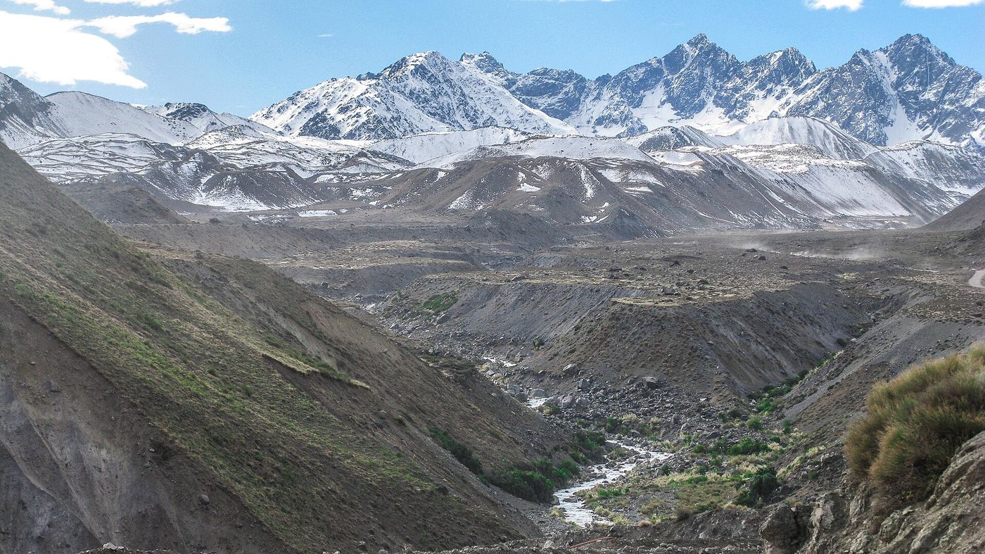
How much time do you actually have?
Match the trip to the window you have, rather than to the photograph you saw. Almost every bad day in these mountains starts with someone attempting a full-day objective on a half-day schedule.
Two or three hours. Cerro San Cristóbal from the Pío Nono entrance, up on foot and down on the funicular, or a loop of the Tupahue terraces. Also the flat riverside paths in Parque Bicentenario and along the Mapocho if you want movement rather than mountains.
Half a day. Quebrada de Macul to the first waterfall, the lower section of Aguas de San Ramón, or a rafting trip on the Maipo including transfer time. Any of these leaves you back in the city for dinner without rushing.
A full day. Cerro Manquehue, Aguas de San Ramón all the way to the Salto de Apoquindo, Yerba Loca, Embalse El Yeso or Monumento Natural El Morado. These are 8–12 hour days once you count transport, and several of them are seasonal.
More than a day. The high peaks. Cerro El Plomo, at 5,424 m, is the classic Santiago objective and takes two to three days with a camp at Federación or Agostini, plus real acclimatisation and a guide unless you have Andean experience. Cerro Provincia and Cerro San Ramón are long, hard single pushes that experienced hikers do in a day and that regularly turn into rescues for people who underestimate them.
One honest note on pacing: Chilean trail signage often gives one-way times for fit local hikers moving steadily. If a sign says three hours to the waterfall, budget seven hours for the round trip with photos, lunch and a slower descent on loose ground. Set a turnaround time before you start and keep it even if the summit looks close. It always looks close.
Embalse El Yeso: read this before you go
El Yeso is the single most photographed place near Santiago and the one with the most rules. As of September 2026:
- The park is open Thursday to Monday, 08:00–18:00, with last entry at 11:00. Turn up at noon and you will be turned away.
- Adult entry is CLP 3,450 (about USD 3.60).
- Private vehicles are banned on route G-455 from km 21.7 between April and August. In that window you cannot simply drive up.
- In mid-September 2026 the operator’s page was still in winter mode, requiring a certified guide or an organised tour rather than independent access.
All checked September 2026, and this is exactly the sort of thing that changes without notice. Confirm before you commit a day to it. If the answer is “guide only”, that is not a scam — it is a genuine access restriction, and the tour is the only legal way up.
The drive is about 2.5 hours each way from central Santiago, most of it beautiful and the last stretch unpaved and washboarded. There are no shops, no fuel and no reliable phone signal at the reservoir. Bring everything.
Do you need a guide or a tour?
For El Morado, the high Cajón del Maipo and anything glacial, yes — either for legal access, transport, or both. For the foothill trails inside the city, no; they are waymarked, busy at weekends and reachable by taxi. Rafting and horseback riding are operator-only by definition.
The dividing line is transport more than skill. Chile has no rental-car requirement for these valleys, but the roads past San Alfonso are unpaved, phone signal disappears, and recovery from a breakdown is slow and expensive. A group tour to El Yeso or El Morado typically costs less than a day’s car hire plus fuel once there are two of you, and it removes the permit question entirely.
Where a guide genuinely earns the money:
- El Morado, where the weather turns fast on the lagoon trail and an early tour departure beats the 12:30 last entry.
- Any winter or shoulder-season high route, where snow cover changes the line.
- Termas del Plomo and the upper valley, where the road demands high clearance.
- Anything you would be doing alone. Santiago’s foothills see regular rescues, mostly of solo walkers who started late and ran out of daylight.
What about altitude and air quality?
Altitude is mild on day hikes — Cerro Manquehue tops out at about 1,638 m, and on El Morado’s lagoon trail, which starts above 1,750 m, most visitors feel nothing worse than shortness of breath. Air quality is the real constraint. Santiago’s basin traps pollution from roughly April to August, and the city issues alert, pre-emergency and emergency episodes that restrict outdoor exercise.
On a bad winter day the air in the basin is genuinely unpleasant to exercise in, and the irony is that the trails above the inversion layer are often clear while the city below is grey. Cerro Manquehue and the upper foothill trails frequently poke out above the murk. If you are sensitive, check the national air-quality readings for the day before committing to a long outing, and prefer the higher trails to Cerro San Cristóbal in winter — San Cristóbal sits low enough to stay inside the haze.
Summer flips the problem: the constraint becomes heat and fire risk. Parks in the foothills close on high-risk days, and the Chilean wildfire season runs December to March. Never light anything, and take a closure at face value.
How do you get to the trailheads without a car?
Metro plus a short taxi covers Cerro San Cristóbal, Cerro Manquehue, Aguas de San Ramón and Quebrada de Macul. Everything in the Cajón del Maipo realistically needs a tour or a hired car, though local buses do run as far as San José de Maipo from Metro Bellavista de La Florida.
Metro fares in September 2026 run CLP 735–895 depending on the time of day, and you can tap a contactless Visa or Mastercard at the gates. Buses still need a physical bip! card (CLP 1,550). The Metro opens at 06:00 on weekdays and 07:30 on Sundays and holidays, which is the binding constraint on a summer alpine start — on a Sunday you cannot be at a foothill trailhead before about 08:15 by public transport. The full picture is on getting around Santiago.
Taxi apps work well to all four city trailheads. Getting a car back down is less reliable: Aguas de San Ramón and Quebrada de Macul both sit at the end of residential streets where drivers are scarce at 17:00, so book the return before you start walking back.
Rafting, riding and biking
Maipo river rafting runs from roughly October to March, based around San Alfonso and Cascada de las Ánimas. The standard commercial run is class III, about an hour on the water inside a half-day trip, with wetsuit, helmet and guide included. Meltwater in November and December makes it pushier than the same run in February. It is a genuinely fun half day and it does not require experience.
Booking is worth doing a few days ahead between December and February, when Santiago itself empties into the valley at weekends. Midweek you can usually walk up and join a departure. Expect to hand over a phone and wallet before you get in the boat — dry bags are provided but nobody guarantees them — and expect to be genuinely wet by the end, which in a 30 °C Chilean January is the entire point.
Horseback riding in the Cajón del Maipo is the valley’s other signature activity, run from the same sanctuaries. Rides range from two hours to multi-day arrieros trips into the high country. The two-hour version is suitable for beginners; the longer ones are not, and should not be treated as a sightseeing option.
Mountain biking has two faces here. Inside the city, Parque Metropolitano has a network of fire roads and singletrack on Cerro San Cristóbal, and you can rent near the Pío Nono entrance. Outside it, the descents off the Farellones road and in the Cajón del Maipo are serious, high-altitude and best arranged through an operator with shuttle support.
Hot springs sit at the top of the valley — Termas Valle de Colina, with its terraced pools looking down the canyon, and Termas del Plomo further on. Both are reached on unpaved road, both are rustic rather than spa-like, and both are effectively summer-only. Do not plan them for a winter weekend.
Can you do this with children?
Yes, with the right choices. Cerro San Cristóbal is the obvious family day: the funicular and teleférico remove the climb, the Zoológico Nacional sits partway up (free, but with mandatory advance booking through reservas.parquemet.cl, Tue–Sun 10:00–17:00, capped at 4,000 visitors a day, checked September 2026), and there are cafés and shade at Tupahue.
Beyond that, the first two kilometres of Yerba Loca are flat and the reward — a glacial valley with a river running through it — arrives immediately rather than after five hours of climbing. Quebrada de Macul’s lower section is shaded and short. Rafting operators generally set a minimum age for the class III run, so ask before you build a day around it.
What does not work with children: Cerro Manquehue, the full Aguas de San Ramón route, El Morado and anything in the upper valley. These are long, hot, exposed and short on turning-back options once you are committed, and the loose descents are hard on small legs.
Beyond the Cajón: Yerba Loca, El Morado and La Campana
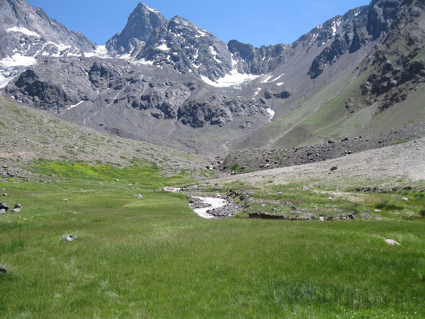
Santuario de la Naturaleza Yerba Loca sits on the road up to Farellones, about an hour from the city, and gives you a broad glacial valley with a long, gentle approach walk along the river towards the Cerro La Paloma glacier. It is the most forgiving high-country day near Santiago: the first few kilometres are almost flat, so you can turn around whenever you like. The road up is a switchback famous for its numbered hairpins, and it can close after snow.
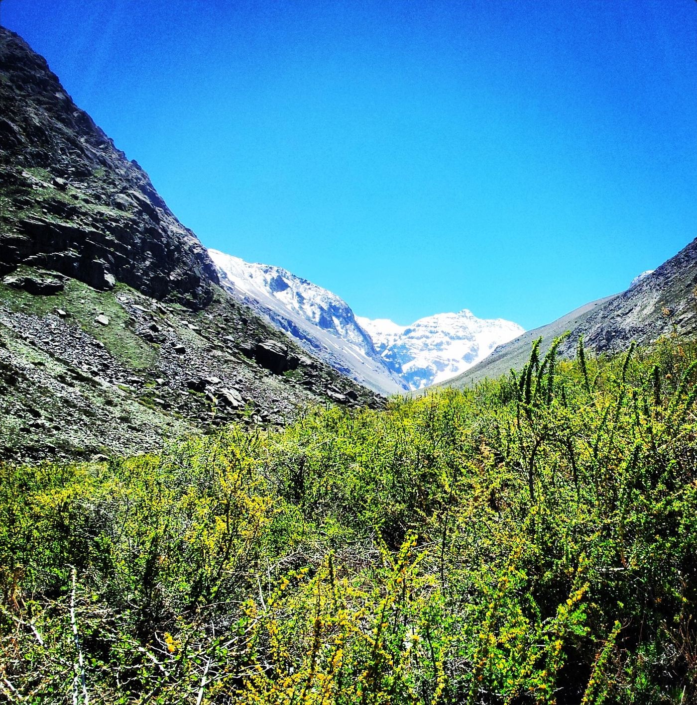
Monumento Natural El Morado, reached from Baños Morales at the top of the Cajón del Maipo, used to be the classic glacier day hike. It no longer is: CONAF now allows walks only as far as the lagoon, and the San Francisco glacier and its base are closed to visitors (checked October 2026). The walk up the valley to the lagoon is still a fine high-Andes day. It is a CONAF site, so entry runs through the national parks booking system at pasesparques.cl; the last entry is 12:30 and the park is closed on Mondays. The high valley is effectively a summer proposition, November through March. Prices and capacity change season to season, so book rather than turn up. Our Cajón del Maipo guide covers the current rules and the high-season bus to the trailhead.
Parque Nacional La Campana is 90 minutes northwest, closer to Valparaíso than to the Andes, and protects the world’s southernmost palm forest. The Sendero El Andinista to the Cerro La Campana summit — the one Darwin climbed in 1834 — is 7 km with a stated total time of around 8 hours, and it is hard. Access is by three sectors: Granizo (Av. Granizo, paradero 45, Olmué), Cajón Grande (paradero 40) and Palmas de Ocoa (Ruta 5 Norte km 98, Hijuelas). The park has a standard winter closure from June to August, and in 2026 it also stayed shut until 16 September after storm damage. Tickets and current hours go through pasesparques.cl.
If your interest is the scenery rather than the summit, the coast-side day trips in our day trips from Santiago guide may suit you better than an eight-hour climb.
What should you take?
Santiago’s foothills punish people who pack like they are going for a city walk. The standard failure is running out of water on an exposed slope at 14:00 in January.
- Water: two litres minimum per person, three in summer. There is no drinkable water on most of these trails.
- Sun protection. High UV, thin air, almost no shade. Hat, high-factor sunscreen, sunglasses, long sleeves.
- Proper shoes. The foothill trails are loose decomposed granite that behaves like ball bearings on the descent.
- A layer. A 25 °C trailhead can be 8 °C and windy on a ridge at 1,600 m.
- Cash in CLP. Park gates and small operators do not all take cards, and signal is unreliable.
- A downloaded map. Phone coverage drops out in the ravines and across most of the upper Cajón del Maipo.
- Your passport or a copy. Some managed parks record ID at the gate.
Start early, tell someone your plan, and turn around on a schedule rather than on a feeling. Emergency numbers are 133 for police, 131 for an ambulance and 132 for fire.
Weather that changes the plan
Central Chile’s mountain weather is more predictable than most ranges — long dry summers, storms concentrated in winter — but three patterns catch visitors out.
The afternoon wind. Valleys in the Cajón del Maipo funnel a strong upvalley wind most summer afternoons. It is not dangerous, but it makes exposed ridges unpleasant and it is the main reason local hikers start at dawn and are back at the car by two.
The winter storm cycle. Between May and August, fronts arrive from the Pacific and dump rain on the city and snow above roughly 1,500–2,000 metres. Roads to Yerba Loca and Farellones can close with little notice, and a foothill trail that was dry on Friday can be greasy and slick on Sunday. Cerro Santa Lucía in the city closes outright when it rains, which tells you how seriously the municipal parks treat wet ground here.
The inversion. On still winter days a temperature inversion caps the basin and holds pollution in place. The practical effect for a hiker is odd and worth knowing: the city is grey, the view from Cerro San Cristóbal is nothing, and the same morning from a ridge at 1,600 metres can be brilliantly clear with the smog lying below you like water.
Rain is concentrated enough to plan around. Approximate monthly totals at Pudahuel run near zero from December to February, around 33 mm in June, 67 mm in July and 38 mm in August, against an annual total of about 219 mm (derived from 1991–2020 normals, Dirección Meteorológica de Chile). In other words, more than three-quarters of the year’s rain falls in the four months when the high mountains are shut anyway.
When is the best season?
Late spring and early autumn. October–November and March–April give you open roads, clear air, snow-free foothill trails and temperatures that do not force a 06:00 start. Summer works for the high Cajón del Maipo but is brutal in the foothills; winter closes most of the mountains and fills the basin with smog.
| Season | Months | Foothill trails | High Andes | Notes |
|---|---|---|---|---|
| Summer | Dec–Feb | Very hot, dawn starts only | Open, best access | Fire closures; El Yeso road open |
| Autumn | Mar–May | Excellent | Closing from May | Best all-round window |
| Winter | Jun–Aug | Open but smoggy | Mostly closed | El Yeso vehicle ban Apr–Aug; ski season instead |
| Spring | Sep–Nov | Excellent | Opening progressively | Meltwater makes rafting big |
Average maximums in the city give you a rough guide: 30.2 °C in January, 14.6 °C in August, with almost all the rain between May and August (1991–2020 normals, Pudahuel station). The full month-by-month picture is on the best time to visit Santiago.
What does it cost?
Hiking near Santiago is one of the cheapest things you can do here, as long as you are not paying for a vehicle.
| Item | Typical cost (CLP) | Approx. USD |
|---|---|---|
| Metro fare, each way | 735–895 | 0.77–0.94 |
| bip! card (one-off) | 1,550 | 1.60 |
| Taxi, Metro to a foothill trailhead | 4,000–8,000 | 4–8 |
| Managed foothill park entry | Low four figures | 2–5 |
| Embalse El Yeso entry | 3,450 | 3.60 |
| Funicular return, Cerro San Cristóbal | 2,060–2,250 | 2.15–2.35 |
| Teleférico return, Pedro de Valdivia line | from 2,630 | from 2.75 |
| Guided group day trip, Cajón del Maipo | Mid five figures | 40–70 |
| Half-day rafting with transfer | Mid five figures | 40–70 |
Prices checked September 2026 at a rate of roughly CLP 950 to USD 1; tour prices are indicative rather than quoted, because operators price by group size and season. Park entry fees at the Asociación Parque Cordillera trails change seasonally and are collected at the gate — bring cash.
The pattern worth noticing: the mountains themselves are nearly free, and almost everything you pay for is transport. Two people splitting a taxi to a trailhead spend less than one guided tour. Four people hiring a car for the Cajón del Maipo spend less per head than four tour seats. If you are alone and want the high valley, the tour wins on cost and on the permit question both.
Leave no trace, Chilean edition
Two rules matter more here than the generic list. Fire: central Chile burns every summer, and a large share of ignitions are human. No stoves, no cigarettes, no exceptions on a windy December day. Water: these are dry catchments that feed the city’s reservoirs, so carry out everything including organic waste, and keep soap and washing well away from streams.
Beyond that: stay on the trail, because the scrub recovers slowly and cutting switchbacks accelerates erosion on slopes that are already losing soil; pack out fruit peel, which does not compost in a semi-arid climate at any useful speed; and give right of way to horses, which you will meet on most Cajón del Maipo trails.
Security in the mountains is not the issue it is in the city, but trailhead car parks are. Don’t leave anything visible in a parked car at Aguas de San Ramón, Quebrada de Macul or the Manquehue trailhead — our Santiago safety guide covers the pattern.
Where to base yourself for an outdoor trip
If the mountains are the point of your trip, the eastern side of the city saves you an hour a day. Las Condes and La Reina put you closest to the foothill trailheads and on the right side of town for the Farellones road; Providencia is the compromise, still on Metro Line 1 and still walkable to shops and food at 22:00 after a long day out. Staying in the historic centre costs you 30–45 minutes each way to every trailhead.
The alternative is to sleep in the Cajón del Maipo itself. San Alfonso and San José de Maipo have lodges and cabins, and waking up in the valley removes the two worst parts of a Cajón day: the 06:00 departure and the Sunday evening crawl back into the city. It is the right call if you are doing El Morado, the upper valley or the hot springs, and overkill for anything else. Our Santiago neighborhoods guide covers the city-side trade-offs in detail, and the things to do in Santiago round-up is where to look for the rest-day options between two hard walks.
One practical note on gear: Santiago has good outdoor shops, concentrated in Providencia and Las Condes, and you can buy or replace almost anything here — boots, poles, fuel canisters, warm layers. What you cannot reliably rent is technical equipment. If your plan involves crampons, an ice axe or a rope, arrange it through a guiding company rather than assuming you will find a rental counter.
Frequently asked questions
Can you hike in Santiago without a car?
Yes. Cerro San Cristóbal is a walk from Bellavista, and Cerro Manquehue, Aguas de San Ramón and Quebrada de Macul are all Metro plus a 10–15 minute taxi. Only the Cajón del Maipo, Yerba Loca and La Campana genuinely need a car or a tour. Book your return taxi before you start walking back.
How hard is Cerro Manquehue?
Hard for its length. It is only about 7 km round trip but climbs roughly 800 metres on loose ground, with a scramble near the summit, and takes most people four to five hours. It is not technical and needs no equipment beyond shoes with grip, but it is not a casual afternoon walk either.
Is Embalse El Yeso open all year?
No. Private vehicles are banned on route G-455 from km 21.7 between April and August, and in mid-September 2026 access was still restricted to certified guides and organised tours. When open, the park runs Thursday to Monday, 08:00–18:00, with last entry at 11:00 and adult entry at CLP 3,450.
What is the best hike near Santiago for a first-timer?
Cerro San Cristóbal for an easy half day with a mechanical escape route, or Quebrada de Macul if you want a real trail without a long drive. Yerba Loca is the best introduction to high country, because the valley floor is nearly flat and you can turn around at any point.
Do you need permits to hike near Santiago?
For CONAF sites — El Morado, Río Clarillo, La Campana — yes, booked through pasesparques.cl. The Asociación Parque Cordillera trails charge entry at the gate. Cerro San Cristóbal and Cerro Manquehue are free. Embalse El Yeso charges entry and restricts access seasonally.
Is it safe to hike alone near Santiago?
The main risks are heat, dehydration and getting caught out by darkness, not crime. The foothill trails are busy at weekends and quiet midweek. If you go alone, tell someone your route and turnaround time, carry more water than you think you need, and do not start a long trail after 10:00 in summer.
When does the snow close the mountains?
The high Cajón del Maipo and the routes above roughly 2,500 metres are effectively shut from May to October, with year-to-year variation. Yerba Loca’s access road can close after any significant snowfall. The foothill trails inside the city rarely see snow and stay open all winter.
Can you see a glacier on a day trip from Santiago?
Not up close any more. The usual answer was the San Francisco glacier at Monumento Natural El Morado, but CONAF now allows walks only as far as the lagoon; the glacier and its base are closed to visitors. The lagoon walk from Baños Morales, at the top of the Cajón del Maipo, is still a good summer day out, November to March. Last entry is 12:30 and the park is closed on Mondays, so you need a car, a tour or the 08:30 high-season bus that CONAF lists to reach the trailhead in time.
Between roughly mid-June and late September the same mountains swap hiking boots for skis, and the access rules change with them. Three linked resorts sit at the top of the Farellones road and Portillo is two hours north. For season dates, what a day really costs, and why the police checkpoint on route G-21 turns cars back, see our guide to skiing near Santiago.
One rule changed in 2026 that matters for anyone planning the high Cajón: CONAF no longer allows walks to the San Francisco glacier or its base, so the El Morado trail now ends at the lagoon, with last entry at 12:30 and the park closed on Mondays. Our Cajón del Maipo travel guide goes up the valley stop by stop, from San José de Maipo to the Valle de Colina hot springs, with the buses CONAF lists and what each stop costs.
El Yeso is now a managed park rather than an open viewpoint. The Asociación Parque Cordillera runs it as the Parque El Yeso – Laguna Negra, with summer hours of Thursday to Monday, a last entry of 11:00, adult tickets at CLP 3,450 and a winter regime that admits only certified guides and operators. Our guide to visiting Embalse El Yeso covers the road, the Laguna Negra route, the operator registry and whether the trip is worth it.
Sources
- CONAF — Corporación Nacional Forestal
- Pases Parques — national park bookings
- Parquemet — Parque Metropolitano de Santiago
- Teleférico Santiago — hours and fares
- Funicular Santiago — hours and fares
- Metro de Santiago — fares and hours
- Asociación Parque Cordillera
- Dirección Meteorológica de Chile — climate normals
- SINCA — national air quality information
- CONAF — wildfire prevention
- Chile Travel — official tourism board
- Visit Santiago — mountains and nature
- UK Foreign Office — Chile travel advice
Image credits
| Photo | Credit |
|---|---|
| Cajon del Maipo (top of page) | edoalemirored, CC0, via Wikimedia Commons |
| The Andes above eastern Santiago | Joraso, public domain, via Wikimedia Commons |
| Andes from Alto Macul | Gillermo Adolfo, CC BY 3.0, via Wikimedia Commons |
| Cajon del Maipo valley | gaspar abrilot from Santiago, Chile, CC BY-SA 2.0, via Wikimedia Commons |
| Embalse El Yeso and Laguna Negra | Diode, CC BY-SA 3.0, via Wikimedia Commons |
| Cerro Manquehue | Penarc, CC BY-SA 3.0, via Wikimedia Commons |
| Santuario de la Naturaleza Yerba Loca | OutCrow, CC BY-SA 3.0, via Wikimedia Commons |
| Monumento Natural El Morado | Nd0806, CC BY-SA 3.0, via Wikimedia Commons |